
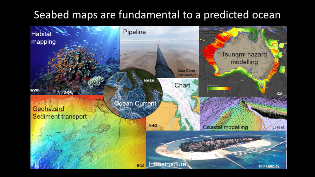
Seabed mapping highly valuable for blue economy growth
Seabed mapping data directly contributed $9 billion to the Australian economy and employed over 56,000 FTEs in 2018-19, a recent Geoscience Australia (GA) report has found.
This economic contribution was the result of marine industries and organisations using seabed mapping data to support navigation, exploration and research.
Industries and organisations included commercial fishing, tourism, national defence, water transport, oil exploration, search and rescue, and marine research and environmental protection.
The value of Australian seabed mapping data to the blue economy found seabed mapping data indirectly contributed a further $37 billion to Australia’s economy. It also created significant social, cultural and environmental benefits.
“Seabed mapping is a little-known activity, but for many key Australian industries it is critical to their formation and operations at sea,” said Dr Brendan Brooke, Director of National Seabed Mapping at Geoscience Australia.
“To better identify and quantify the value of seabed mapping data, GA commissioned Deloitte Access Economics to examine its value to the economy, role in managing the marine environment and the benefits it provides society,” Dr Brooke said.
“We also wanted to better understand the information required to realise the predicted growth of the blue economy and its role in securing Australia’s future.”
The blue economy focuses on achieving a healthy marine environment, a strong economy and a vibrant society by sustainably managing one of Australia’s greatest resources: our oceans and coasts. It is projected to be worth $100 billion per annum by 2025.
“The report’s findings highlight the important role of seabed mapping in supporting a wide range of industries in the blue economy. Importantly, the report also indicates the potential growth in the blue economy that can flow from extending the coverage of and access to high-resolution seabed mapping data,” Dr Brooke said.
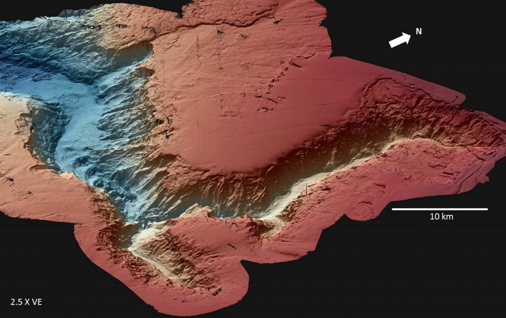
However, only 25 per cent of the Australian Exclusive Economic Zone has been mapped at a resolution suitable to inform government and business decision-making or to support sustainable management and use of marine resources.
To maximise the economic benefits of seabed mapping data, the report suggests:
- increasing the rate of data acquisition to fill important gaps
- unlocking archives of seabed data held by government and industry organisations
- modernising the management of and online access to publicly available seabed data
- providing seabed mapping data essential for offshore renewable energy and tourism.
AusSeabed has been working hard to meet some of these needs since its establishment in 2018. Led by Geoscience Australia, the national collaboration aims to make more seabed mapping data of the Australian marine estate readily and openly available.
“In 2020/21, over 2 million km2 of seabed data were made available through the AusSeabed Marine Data Portal – an area larger than the land area of NSW, South Australia and Tasmania combined,” said Kim Picard, AusSeabed Steering Committee Chair and National Marine Science Committee Deputy Chair.
“Today, we know about 17 million km2 of bathymetric data exist in the region — some covering overlapping areas but collected at different times. These are made openly available through the portal and represent an increase of 13.3% from 2019/20,” she said.
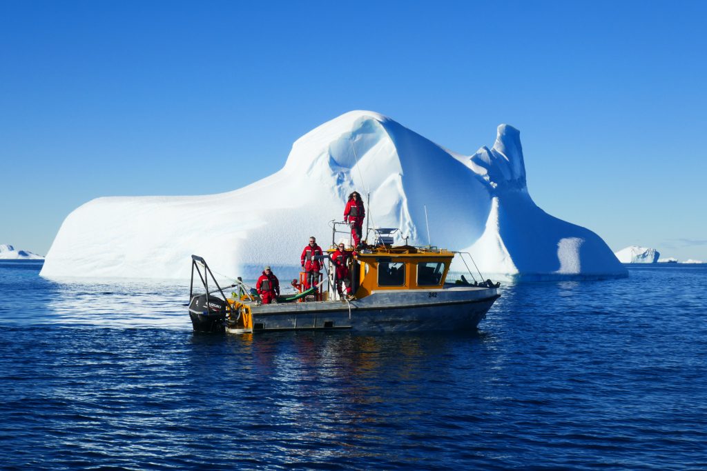
“We estimate that only about 25% of our marine jurisdiction, including Antarctica, is mapped. Only a fraction of this is available through the AusSeabed portal. so we are working on making the rest of the historical data available. We are also assisting with the coordination of new data acquisition to help map the remaining 75% of Australia’s seabed.”
Top photo: Available Australian seabed mapping data to date. (Credit: Geoscience Australia)


